Nottingham Canal

Go to content

Main menu

Part 1

Langley Mill Junction, swingbridge & basin in the 1970s

Langley Mill to Awsworth.
Although the original basin, stop lock, swing bridge and junction are navigable from the Erewash and Cromford canals; we immediately hit a brick wall.

nottinghamcanal-1map.jpg
Former Nottingham Canal Bridge at Langley Mill Basin

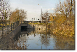
The old second bridge was bricked up as part of a new road scheme at the time the basin was restored.
Restoring this bridge is theoretically possible...

...it almost has enough headroom under the new road to be rebuilt without major carriageway realignment. The canal could then be re-excavated through the waste land beyond to the next bridge. This would also have to be rebuilt but - as with so many obstacles on this canal, there is an alternative route.

Waste ground on the canal route immediately south of Langley Mill
Former site of Anchor Bridge
 

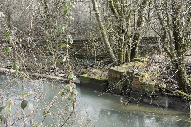
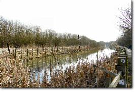
Alongside the next bridge, the navigable Erewash Canal is only a lock length away through yet more derelict land. Previous prospective restorers envisaged locking up from the Erewash Canal here and restoring southwards. The land beyond is a former council tip and the canal would need little more than re-excavation. A water supply could still be piped along the original route.

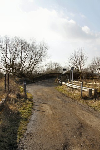
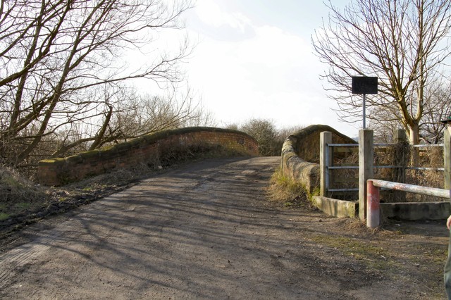
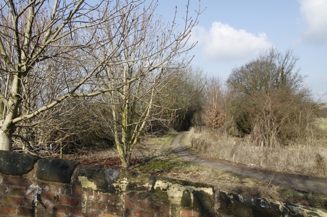
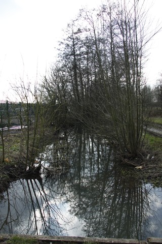
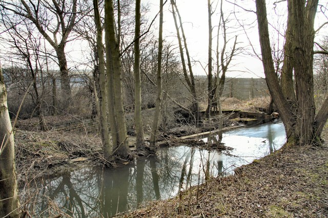
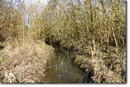
The next bridge still exists as an infilled hump back and from hereon the canal is in water for a good way and seems to be a habitat for water voles.

A derelict, but restorable, swing bridge follows - along with the abutments for a former tramway bridge - and the water filled channel continues until the next minor road crossing. This would need a new bridge and some realignment.


The next section was removed as part of the Shilo opencast mining scheme in the 1970s - but I understand it was a condition of the planning consent that a water channel should be retained along with a public right of way. This has been done to a somewhat variable degree, and is a minimalist ditch along some stretches, but there is no doubt that the original route is still feasible for re-excavation throughout. A couple more minor roads cross, and would require new bridges (although at least one aqueduct is still intact along here), but largely the canal bed is just infilled and unobstructed.

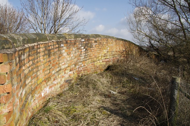
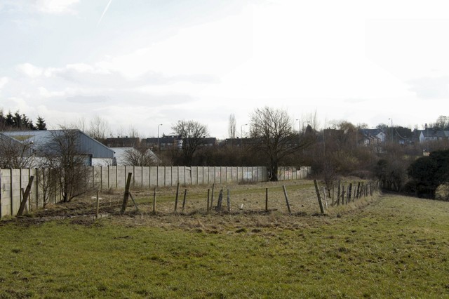
From Shilo, the canal makes a large sweeping curve towards the A610 - towards which there was a short branch. Around this branch, near where Ikea now stands, there were coal mines, clay pits, brick works, gas works and a tar distillery and numerous railways. Amazingly, the junction of this branch and the main canal is still evident on the ground.

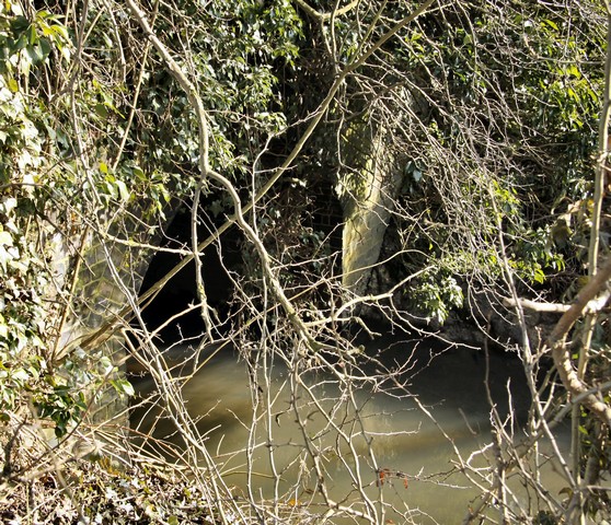
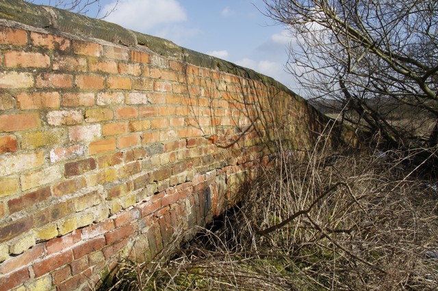
The branch itself is still a water channel, and its waters thunder over what appears to be the original canal bywash, before passing under another erstwhile aqueduct on the infilled main canal line a hundred yards further on.

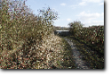
A narrow ditch takes us another couple of hundred yards to where a former bridge carries a lane into a scrap yard. This bridge is infilled but would probably require a complete rebuild for contemporary traffic.

A short distance further on, adjacent to the quaintly named Naptha House - probably an indication of its former connections to tar distillation, but which now houses a kennels - the ditch widens out into a perfect stretch of canal. This is in fully navigable condition and is intensively used by anglers. Awsworth Road bridge has been culverted across this stretch and carries a busy minor road.

This would be a difficult bridge to rebuild as the road is at a considerable gradient. However, as the next bridge - a new culvert - is only a short distance away, a solution might be to replace this crossing with a correspondingly short road diversion to the new road. Unfortunately, the latter is a relatively major new road crossing - probably the most disruptive one so far and therefore more expensive to rebuild.

 
Back to content | Back to main menu